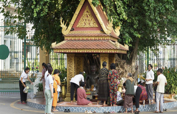
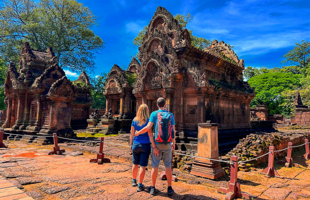
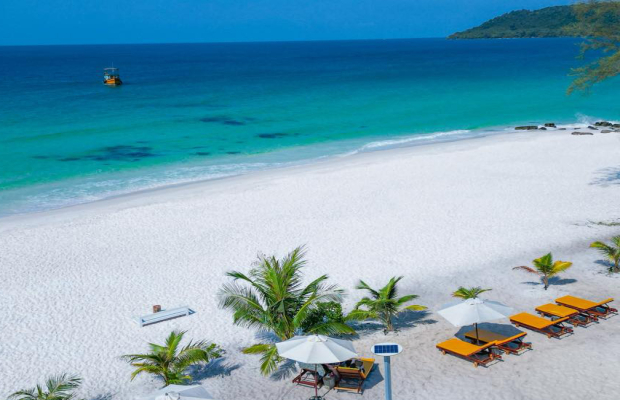
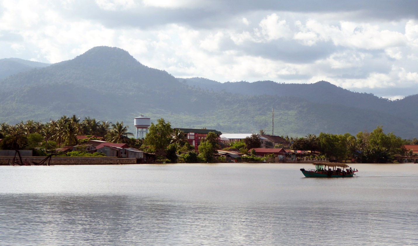
Explore

Kampot Geography


Kampot Geography

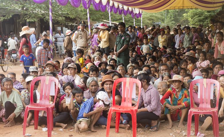
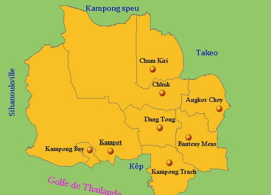
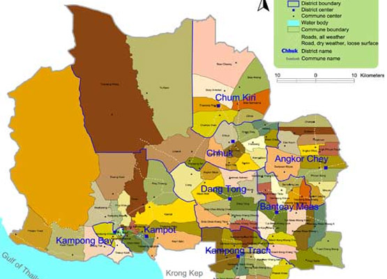
Kampot province is 4.873 square kilometres big. It's located in the Southwest of the country and is bordering to the North with Kampong Speu, in the East with Takeo, in the West with Sihanoukville and Koh Kong and to the South with the Gulf of Thailand. The East of the province consists of the typical plain area for Cambodia, covering rice fields and other agricultural plantations.

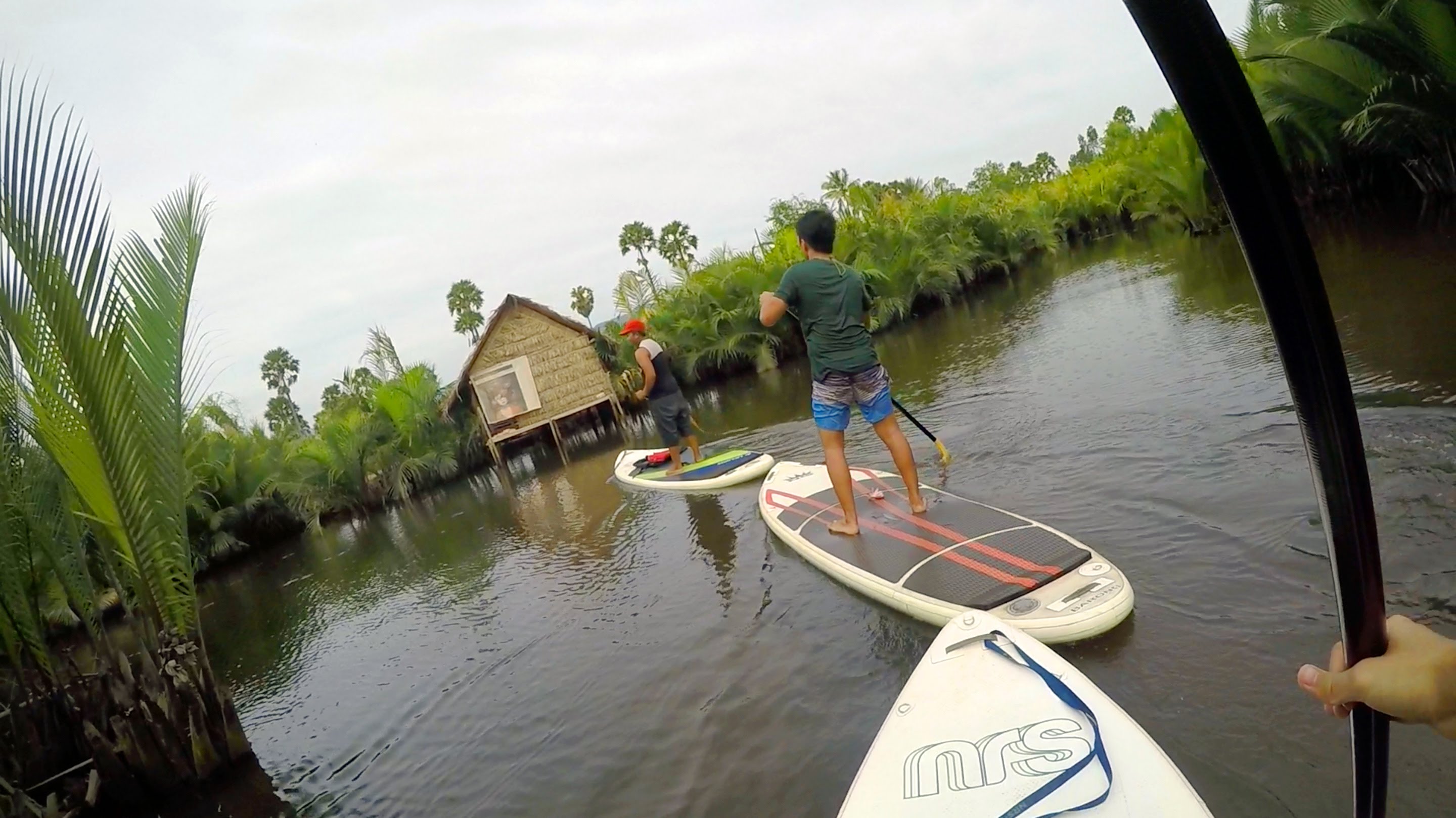
The Western part of the province shows up with the well known Bokor National Park, being a part of the grant Elephant Mountains, which is rich in lush forests and a huge range of wildlife. The two highest points in the province are the Bokor Hill Station with 1,027m altitude and further north another hilltop with 1,050m altitude. Some people consider the countryside similar to the sharp Vietnamese limestone rocks shooting up of flat plainsandnbsp; an impressive aspect.

Kampot Geography 1
Kampot Geography It Borders Kampot To The North
Kampot Geography Map 1
Kampot Geography Map 2

Related Kampot Attractions

What to See in Kampot

What to See in Kampot, Kampot City sits along the east side of the Kampong Bay River near the base ...

Shopping in Kampot

Shopping in Kampot, As it is quite common in Cambodia even small cities, such as Kampot have at ...

How to Get to Kampot

How to Get to Kampot, Kampot may easily be approached directly from Phnom Penh, Sihanoukville and ...

Introduction to Kampot

Introduction to Kampot Province, This province is located in the Southwest of the country, having ...

Where to Stay In Kampot

Where to Stay In Kampot, Bokor Mountain Lodge: Lovely old French Colonial-era building in a perfect ...

Kampot Economy

Kampot Economy, Various actors, according to the needs of the most important target groups, ...

Kampot Climate

Kampot Climate, The country has a tropical climate - warm and humid. In the monsoon season, ...

Where to Eat In Kampot

Where to Eat In Kampot, Little Garden Bar This Restaurant has an open-air garden style and is ...