Explore

Kandal Geography

Kandal Geography

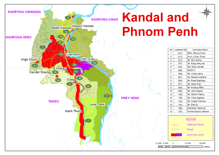
Kandal province is 3,568 square kilometres big. It's located in the middle-south of the country and is bordering to the North with Kampong Chhnang and Kamponf Cham, in the East with Prey Veng, in the West with Kampong Speu and Takeo and to the South with Vietnam.

The province consists of the typical plain wet area for Cambodia, covering rice fields and other agricultural plantations. The average altitude of the province is supposedly not more than 10m above see level. The province also features two of the biggest rivers of the country (actually they symbolize the provincial borders) the Tonle Bassac and the mighty Mekong.

Kandal Geography
Kandal Geography
Kandal Geography
Kandal Geography

Related Kandal Attractions

Kandal Economy

Kandal Economy, As Kandal province is around Phnom Penh it serves as an economic belt of the ...

Where to stay in Kandal

Where to stay in Kandal, Many guesthouse can be found in cheap price in the city but luxury hotels ...

Kandal Climate

Kandal Climate,The country has a tropical climate warm and humid. In the monsoon season, abundant ...

How to get to Kandal

How to get to Kandal, Bus :As the Kandal province is very closed to Phnom Penh there is several ...

What to see in Kandal

What to see in Kandal, Kandal province is 3,568 square kilometres big. located in the middle-south ...

Introduction to Kandal Province

Introduction to Kandal, Kandal is one of the smaller provinces of Cambodia. This province ...

Shopping in Kandal

Shopping in Kandal, As it is quite common in Cambodia even small cities, such as Ta Khmau have at ...

Where to eat in Kandal

Where to eat in Kandal, There are numerous restaurants and bars in Kandal. You can enjoy an ...