Explore

Takeo Geography

Takeo Geography

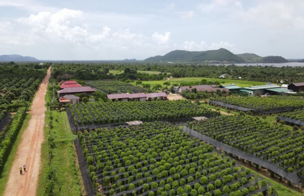
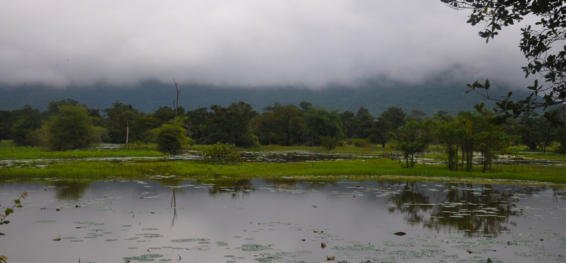
Takeo province is 3,563 square kilometres big. It's located in the South of the country bordering to the North and East with Kandal, to the West with Kampong Speu and Kampot and to the South with Vietnam. The low-lying area seems to include much of the surrounding province area, which is probably why a kingdom that once had its heart here was referred to as Water Chenla. There seems to be water everywhere in the surrounding countryside during the rainy season.

Therefore the province consists of the typical plain wet area for Cambodia, covering rice fields and other agricultural plantations. The province also features one of the biggest rivers of the country (symbolizing the provincial border to the East), the Tonle Bassac (also known as the ?Red River?).

Takeo Geography
Takeo Geography
Takeo Geography
Takeo Geography

Related Takeo Attractions

Takeo Population

Takeo Population, The current population in this province is about 924,758 people or 6.4% of the ...

What to See In Takeo

What to See In Takeo, On your trip to the small low-land province in Cambodia, you will find a ...

Takeo Climate

Takeo Climate, The country has a tropical climate - warm and humid. In the monsoon season, abundant ...

How to Get To Takeo

How to Get To Takeo, Bus: Phnom Penh and Takeo province are linked by the National Highway No 2, ...

Takeo Economy

Takeo Economy, Takeo's economy consists basically of agricultural farming, ...

Introduction To Takeo

Introduction To Takeo, Takeo province is often referred to as the cradle of Cambodian civilisation ...

Shopping In Takeo

Shopping In Takeo, As it is quite common in Cambodia even small cities, such as Takeo have at least ...

Where to Stay In Takeo

Where to Stay In Takeo, There are some reasonable options to get your head on a bed in Takeo, ...