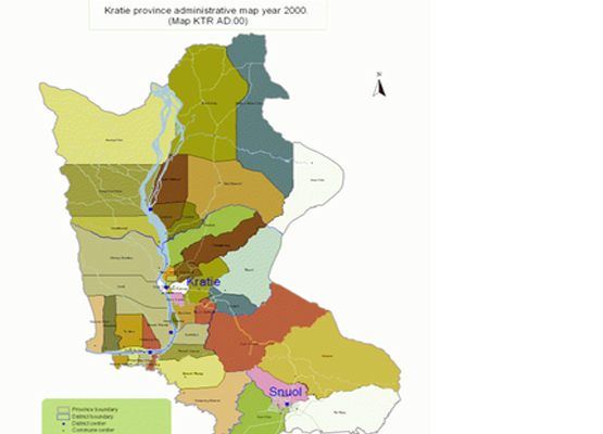
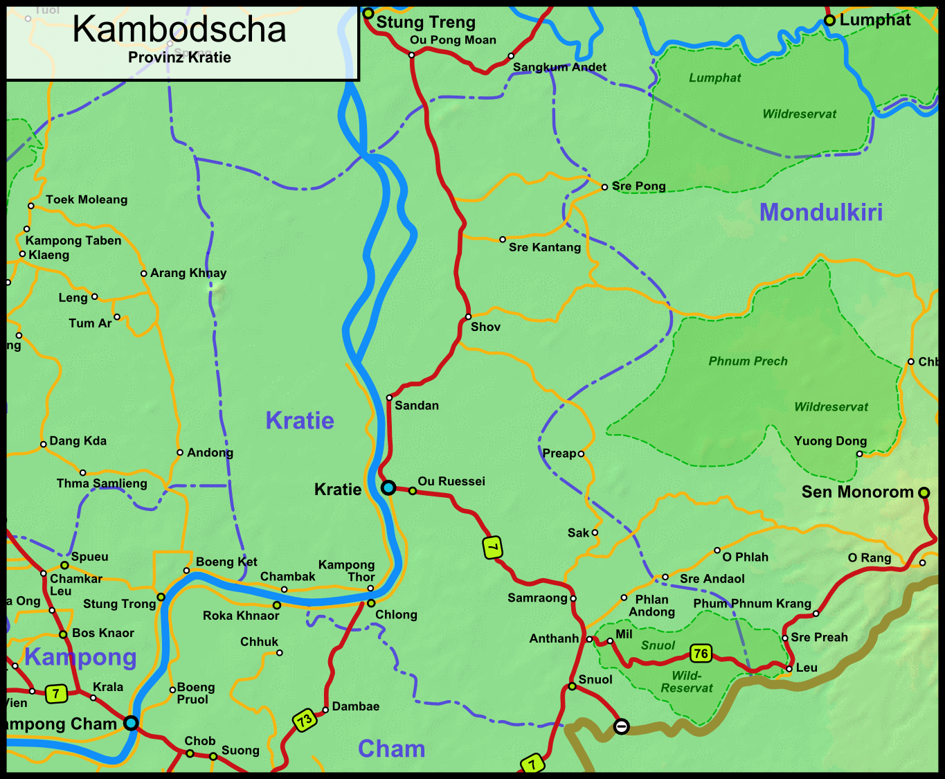
Explore

Kratie Geography

Kratie Geography, Cambodia

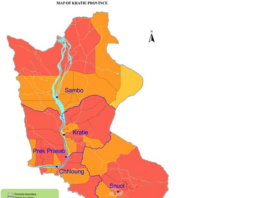
Kratie province is 11,094 square kilometres big, which is categorized into several areas such as 83% forest, agricultural land 8% and red land 0.5% in Snoul district. It's located in the East of the country and is bordering to the North with Stueng Treng, to the East with Mondulkiri, to the West with Kampong Thom and to the South with Kampong Cham.

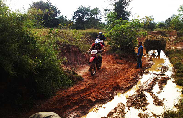
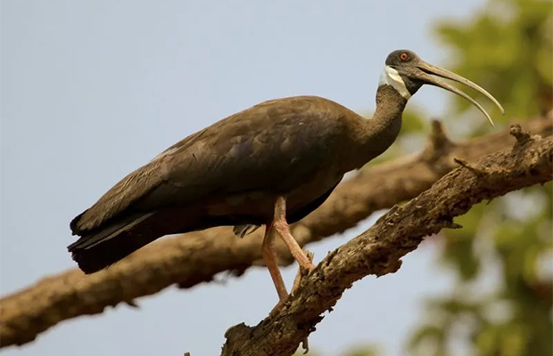
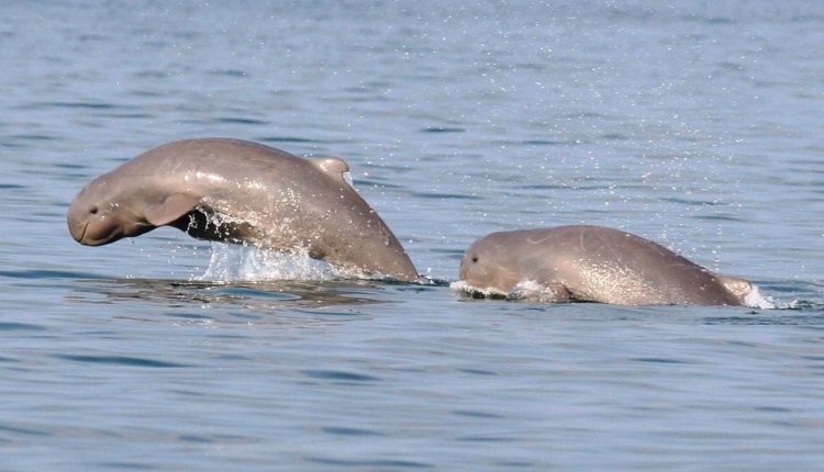
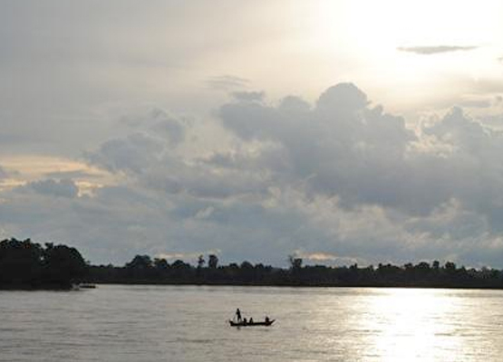
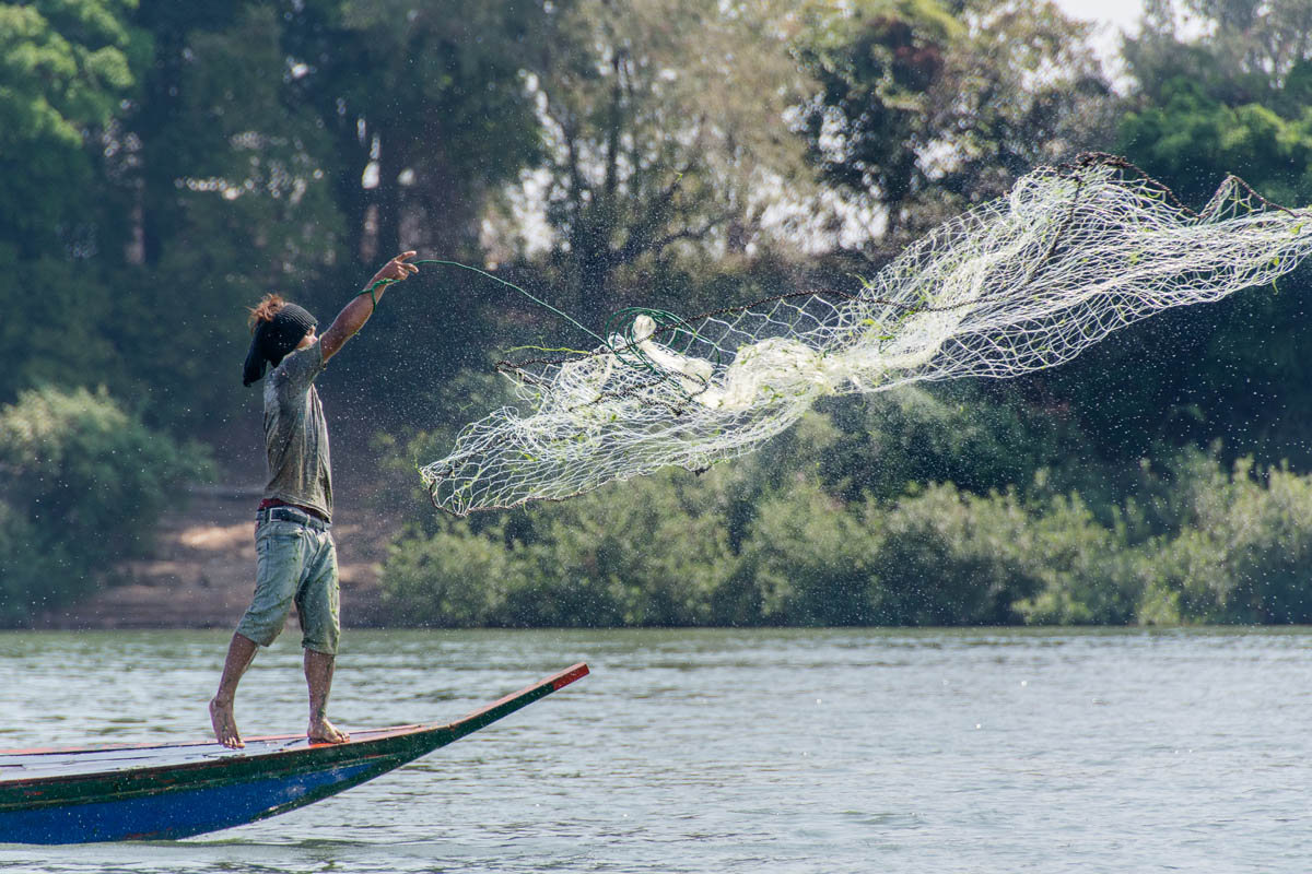
The province consists mainly of thick forested area, where you still can see the 1970-75 bombings due to big craters in the countryside, some filled with water. You also may find the typical plain wet area for Cambodia, covering rice fields and other agricultural plantations, even if it's just a small percentage of agriculturally used land concerning the rest of Cambodia. The province features the biggest river of the country (approx. 140km of it), the mighty Mekong with its small rapids and critically endangered Irrawaddy dolphins.

Kratie Geography 1
Kratie Geography City map
Kratie Geography Map
Kratie Geography

Related Kratie Attractions

What to see in Kratie

What to see in Kratie, Is a sleepy Mekong River town situated on the east bank of the mighty ...

Shopping in Kratie

Shopping in Kratie, The Kratie market is right in the thick of things, just a block from the ...

Where to eat in Kratie

Where to eat in Kratie, There is a typical market right one block into the town centre, which has ...

Kratie Population

Kratie Population, The current population of Kratie is approximately 290,000 and the population ...

Kratie Climate

Kratie Climate, The country has a tropical climate - warm and humid. In the monsoon season, ...

Kratie Economy

Kratie Economy, In an effort to entice foreign investment, the province is offering generous ...

Where to stay in Kratie

Where to stay in Kratie, Oudom Sambath Hotel:The Oudom Sambath Hotel is set in a convenient ...

How to get to Kratie

How to get to Kratie, Bus:Coming from Phnom Penh, Kratie town is accessible via NH No 7 ...